Land & Sea Surveying Concepts, INC.
1605 CHASE HAMMOCK RD.
MERRITT ISLAND, FLORIDA 32953PHONE: 321.454.6310 FAX: 321.454.6998
November 2024: Malabar Bridge Repairs
Land & Sea Surveying performed utility locates and an aerial drone survey using the WingtraOne Drone to support the repairs to a bridge on Malabar Road.


October 2024: Marinas Condition Assessment
Land & Sea Surveying performed utility locates and an aerial drone survey using a WingtraOne Drone to support the repairs to bridge on Malabar Road.


.JPG)
September 2024: Marinas Condition Assessment
Land & Sea Surveying provided surveying and diving services in support of a Condition Assessment at some Marinas in Washington DC.


.JPG)


August 2024: Surveying Services for FIT
Land & Sea Surveying provided surveying services to support a construction project at Florida Institute of Technology. LSSC performed a boundary, topographic, underground utility, control, boring hole location, and a tree survey at this project site.


.jpg)

.jpg)
July 2024: Lift Station Improvements Stakeout
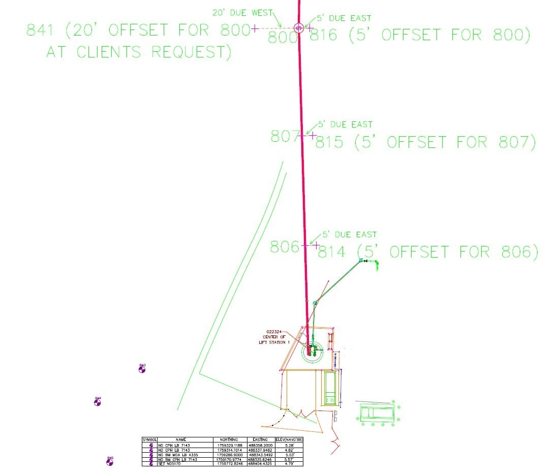
Land & Sea Surveying provided stakeout and other surveying services in support of the improvements to a lift station in Indialantic, Florida.
.jpg)
.jpg)
.JPG)


June 2024: Elevation surveys at monitoring wells in SRWMD
Land and Sea provided services to set benchmarks and establish NAVD ’88 elevations at 9 monitoring locations at the Suwannee River Water Management District.


May 2024: Drone Roadway Survey
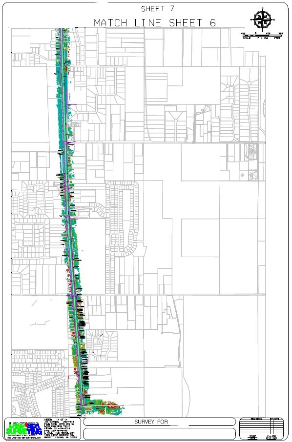
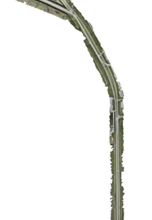
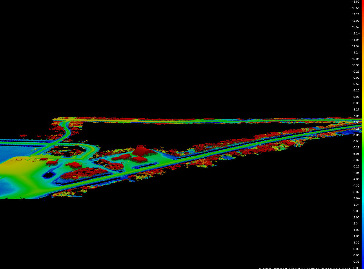
Land & Sea Surveying conducted a comprehensive drone survey of a 14.4-mile-long (75,900 linear feet) roadway utilizing the advanced Wingtra One Fixed-Wing Drone to support the design and development of a wastewater system for the area.



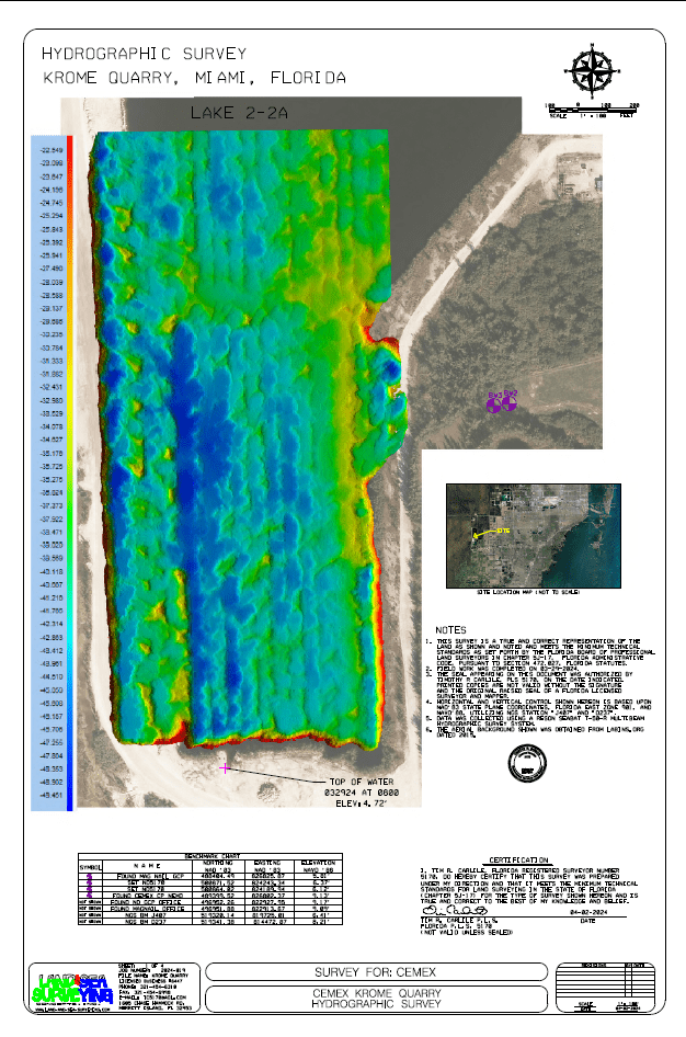
April 2024: Hydrographic Survey of Lake Shorelines
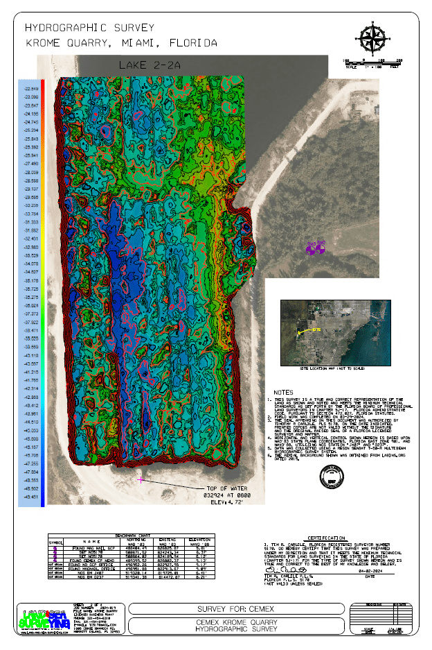
Land & Sea performed a hydrographic survey to capture the shoreline of some of the lakes at the Krome CEMEX Quarry in Miami, Florida.
.jpg)

.jpg)


March 2024: Hydrographic and Aerial Drone Photogrammetric Survey for Shoreline Repair
Land & Sea provided surveying services to support repairs to a damaged shoreline. We flew a WintraOne drone to collect high resolution aerials and land topography; used a Jetski to perform the hydrographic surveys


February 2024: As-built survey for a dock in Indian River
Land and Sea Surveying completed an as-built survey of the new riprap revetment along the shore of the Indian River. We made a survey drawing showing a plan view of the improvements located and vegetation with the boundary, mean high water line, monumentation, and riparian lines to help the client with their permitting needs.
.jpg)
.jpg)


.jpg)
January 2024: Hydrographic and Topographic Survey of Cruise Termianl 4 at Port Canaveral
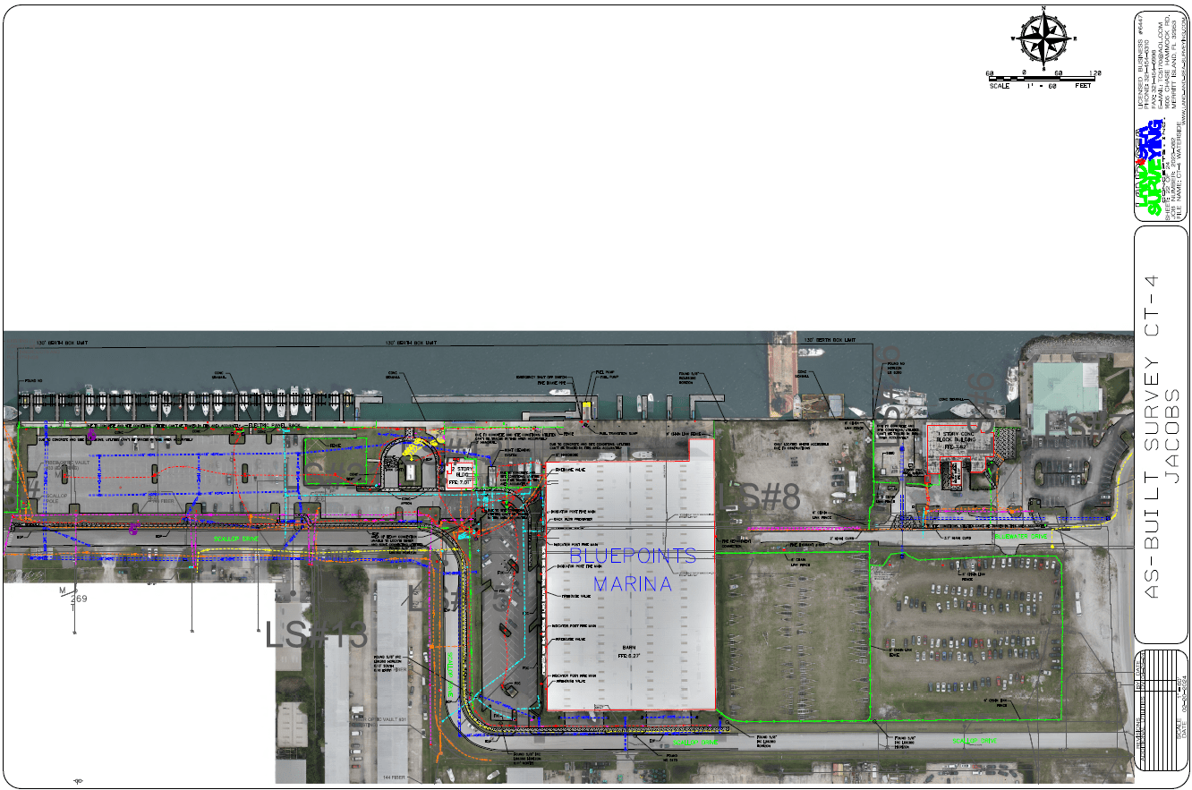
Land & Sea provided hydrographic surveying services to support construction activities in Port Canaveral. We flew a WingtraOne drone to capture high-resolution aerials and topography, performed a hydrographic survey, and full utility survey.